
This post is also available in:

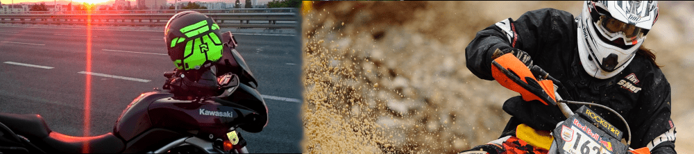
During the Prolog race i let my GPS tracker on.
Thats the Route:
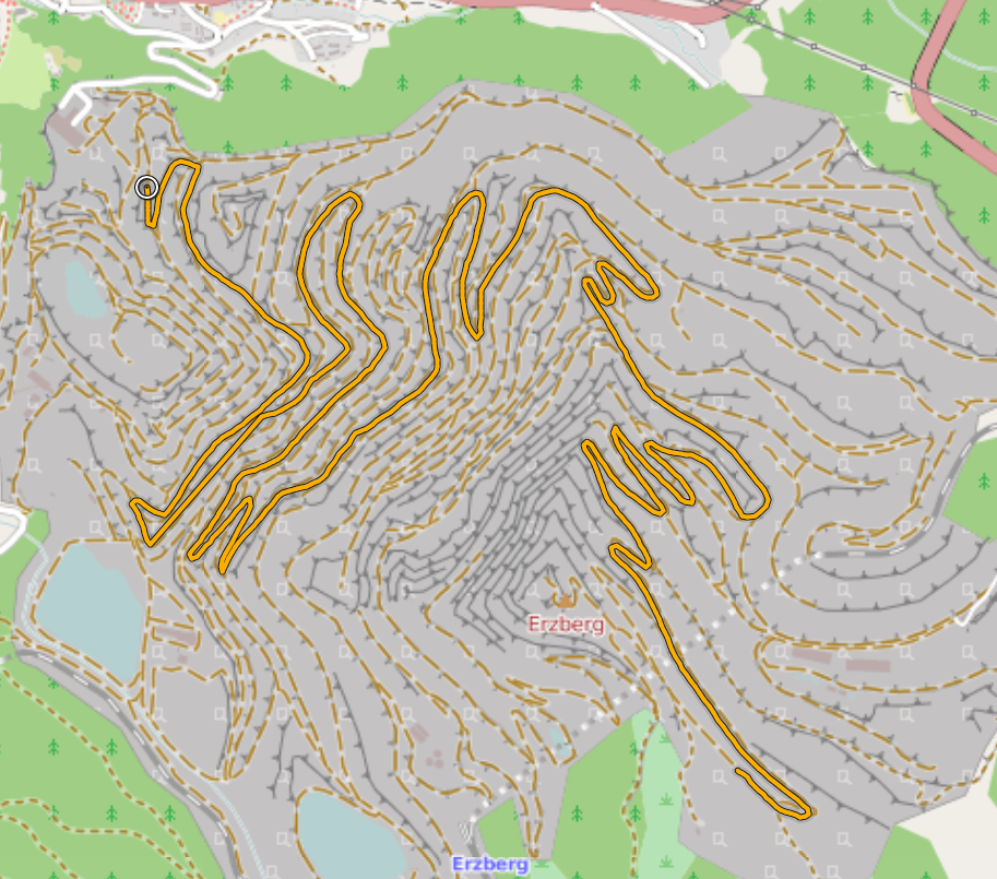
It starts at the circle, at approx. 864 m sea level, and ends, 14 km later, after stones, water and fog at 1437m sea level
One simple mistake, combined with a worsened spark plug did cost me about 8 unnecessary minutes (according to log) , unfortunately it was to late, when i recognised my mistake. Pitty, but reason enough to come back next year, to do it better 🙂
